Hello, Sign in
 Cart
Cart 


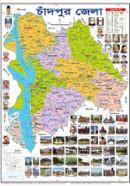


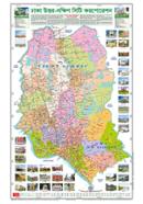


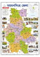
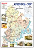
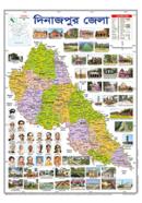
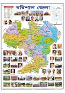
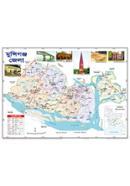
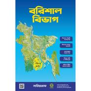
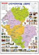
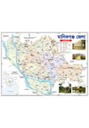
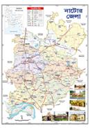
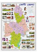
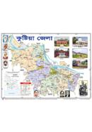
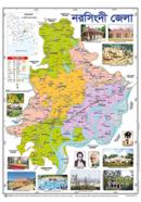
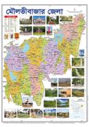
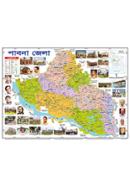
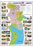
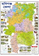
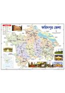
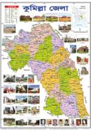
The Sariyagraph Comilla District Map displays administrative boundaries across an 18.5x25 inch surface. Native Bangla identifies all labels. Sturdy paper construction supports long-term wall mounting for educational use.
Key Features
- Administrative Boundaries: Upazila and Thana lines mark internal political borders. Identifies specific local territories without confusion.
- Bangla Labels: Native identifies all geographic and administrative locations. Improves readability for local students and researchers.
- 18.5x25 Inch Dimensions: Large format political layout covers the entire district area. Fits standard wall spaces in classrooms or offices.
- Sturdy Paper Material: Heavy-weight paper stock resists damage during mounting. Resists humidity and road dust in typical environments.
Frequently Asked Questions
How many upazilas are in Comilla district?
Comilla district contains 17 upazilas. This map displays each boundary and label in clear Bangla .
Where can I buy a physical map of Comilla?
Purchase the Sariyagraph Comilla District Map online for a physical version. It arrives as a printed 18.5x25 inch document.