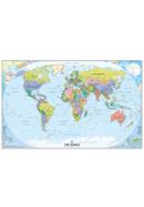
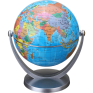
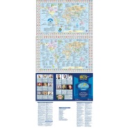
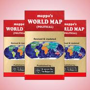
World Map: A Visual Representation of Our Planet
World maps depict Earth's surface, showing continents, countries, oceans, and geographical features. Used for navigation, education, and research, they provide insights into political boundaries, topography, and cultural regions. Cartographers use different projections to represent the curved surface on a flat plane. Historical maps reveal how geography shaped civilizations and global trade. Advancements in satellite imaging have improved accuracy, making modern maps more precise than ever.
Types of World Maps
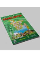
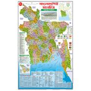
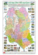
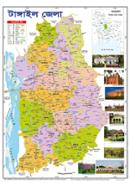
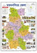
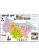
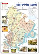
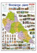
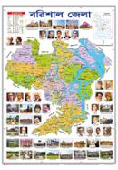
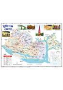
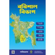
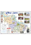
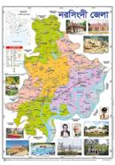
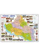
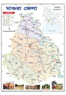
Political Map
Shows country borders, major cities, and administrative divisions. Used in classrooms, offices, and travel planning. Helps in understanding global geopolitics.
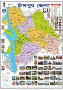
Physical Map
Depicts landforms such as mountains, rivers, and deserts. Uses color gradients to indicate elevation and terrain differences. Helps in studying natural landscapes.
Thematic Map
Focuses on specific topics such as climate, population density, or economic activity. Good for data analysis and research. Helps in identifying patterns and trends.
Topographic Map
Represents elevation changes with contour lines. Applications in hiking, engineering, and military planning. Helps in assessing land features for construction or navigation.
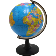
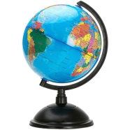
Satellite Map
Based on satellite imagery, displaying real-time Earth observations. Useful in weather forecasting, environmental monitoring, and urban planning. Helps in tracking natural disasters and climate changes.
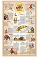
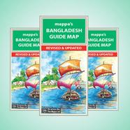
Popular Brands
Sariyagraph creates vibrant educational and office maps. Mappa Ltd. specializes in detailed political and physical maps. Himel Publication focuses on academic and research-based maps. Aroni Products offers durable laminated options. Cation produces modern scratch-off and interactive maps for travelers.
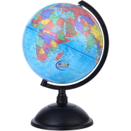
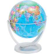
World Map Price in Bangladesh
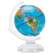
World maps are available in different formats, including posters, globes, and digital maps. Depending on size, material, and detailing, printed versions range from 10 to 1,000 BDT. Globes and interactive maps cost more, especially those with additional features like lighting or augmented reality. Digital maps are widely accessible online for free or through premium services with advanced functionalities.
How to Choose the Best World Map (Buying Guide)
Purpose of Use
Choosing the right type depends on its intended application. Political maps work well for educational purposes, whereas physical maps are better for geography studies. Thematic maps serve research needs, and topographic maps assist with outdoor navigation.
Size and Format
Available as posters, foldable maps, globes, or digital formats. Wall maps are useful for reference, while compact ones are easier to carry. Digital maps provide interactive features for deeper exploration.
Projection Type
Different projections influence accuracy. Mercator is useful for navigation, but Robinson provides a more balanced view. Those studying land area distribution may prefer the Peters projection. Selecting the right projection improves understanding.
Detail and Features
Maps range from basic to highly detailed, including political boundaries, physical features, and additional data layers. Some have labeled capitals, time zones, and climate zones. High-resolution maps offer better readability.
Material and Durability
Printed maps come on paper, laminated sheets, or fabric. Laminated versions resist damage and last longer. Interactive digital maps provide real-time updates and customization options.
Educational and Decorative Value
Maps serve both functional and aesthetic purposes. Schools and offices use them for reference, whereas artistic maps add style to interiors. Glow-in-the-dark and scratch-off maps provide unique learning experiences.
Explore School and Office Supplies at Rokomari.com
Explore all kinds of School and Office Supplies at Rokomari.com. Browse our collection of Dusters, Ink, Refills & Accessories, Board Pins, Safety Pins, Gems Clips, Boards & Flipcharts, and Formula Sheets. Find everything you need for your learning or work environment.

 Hello, Sign in
 Cart
Cart