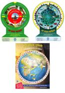
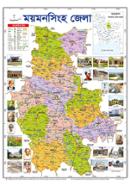
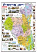
Summary:
Informative yet Engaging-Himel Publication, Political Map
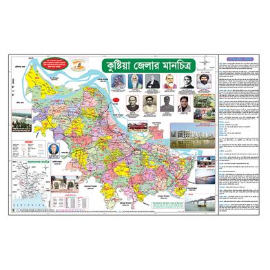
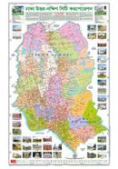
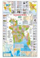
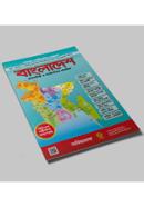
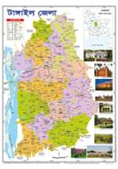
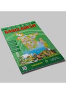
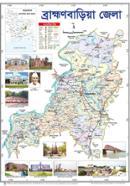
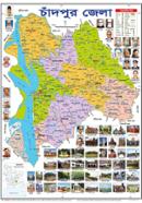
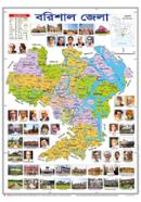
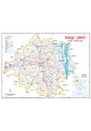
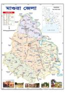
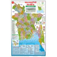
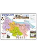
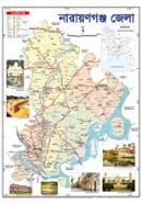
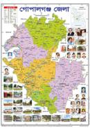
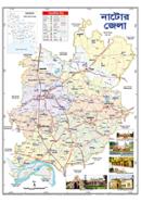
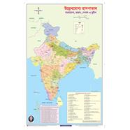
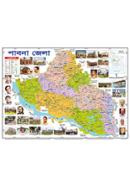
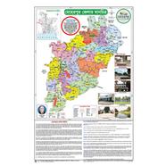
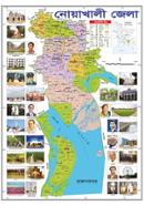
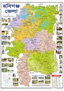
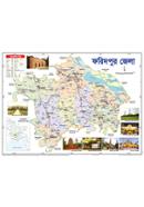
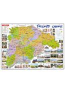
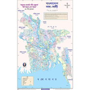
The Himel Publication 22.5x35 Inch Political Map in Bangladesh is detailed and accurate in the country's geography. This map will serve students, teachers, and all those seeking an understanding of Bangladesh's political boundaries. It clearly and precisely details all the country's divisions, districts, and important locations. The big size, 22.5 x 35 inches, allows it to act as an immaculate visual aid wherein even minute details are comfortably readable and understandable from a distance. It, therefore, is an indispensable tool in educational set-ups where thorough geography understanding is called for. The map is also perfect for use in homes where kids and adults alike can learn about Bangladesh's political design in an interactive yet accessible manner.
Why the Himel Publication Political Map Is Outstanding
The Himel Publication Bangla Political Map 22.5x35 Inches is printed using high-quality material for brevity and durability. This map is printed on very tough paper, thus making it durable and able to resist everyday wear and tear. The colors are bright, and the text is readable, clean, and professional. What sets this map apart, however, is the detailed content: not only the major cities and divisions but even the smaller towns and regions usually not found on any other map. Including clear boundaries for each district and division is a great boon, providing students and researchers with a reliable tool to gain insight into political geography. It is available online, so buying this product from the Rokomari web shop or other places is effortless, making it quite convenient for anyone who needs a map. One of the most favorable attributes of the Himel Publication 22.5x35 Inch Political Map is that it falls within the reasonable range for the educational community. Reasonably accessible to students and schools across the nation, the Bangladesh price is appropriate for this political map. It is a handy tool for young learners, especially those in the age bracket from 10 to 14 years, to get a feel for what Bangladesh looks like regarding geography and political division. Teachers can use this as a teaching aid since they find it easy to explain complex political structures in a simplified and engaging manner. This map is also perfect for competitive examination preparations, whereby one needs a proper or clear understanding of geography. Whether it be in daily studies or some academic requirements, this will be an excellent map to view all the geographical aspects of the country properly, and learning would be much more fun and effective.
Where to Find the Himel Publication Political Map
The price of Himel Publication Bangla Political Map 22.5x35 Inch in Bangladesh is competitive and within reach for one interested in such a detailed and quality map. Himel Publication 22.5x35 Inch Political Map Bangladesh is available online, such as Rokomari or any other local bookstore. It's easy for both individuals and educational institutions to order in bulk. Be it for personal use, some academic function, or even as a gift, this map is one of the more reliable and informative products that add value wherever placed. Since it's available online, you can easily purchase the product without much ado and have it delivered to your doorstep so that you do not have to venture out of your house to secure this valued resource.
![]()


 Hello, Sign in
 Cart
Cart 