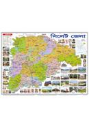
Summary:
Explore Bangladesh's Political Boundaries with Himel Publication's Map
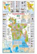
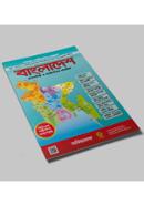
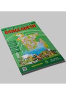
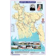
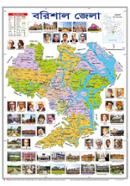
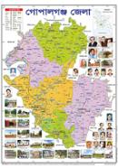
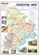
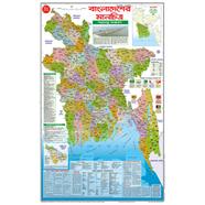
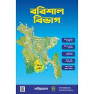
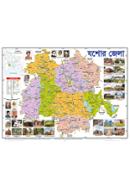
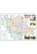
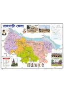
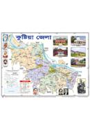
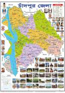
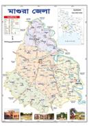
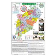
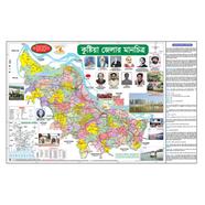
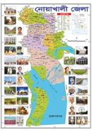
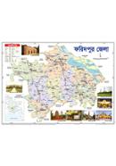
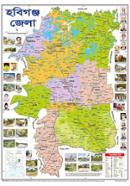
Himel Publication 23x36 Inch Political Map Bangladesh is perfect for learning about Bangladesh's geography and political subdivisions. The comprehensiveness of its display makes this product highly desirable for students, teachers, or anyone interested in the further details of administrative subdivisions within the country. This map is designed with accuracy and presents the districts, upazilas, and all other essential landmarks across Bangladesh. It serves well to learn visually about the country of Bangladesh or teach others about the same. This politically correct map is suitable for 10- to 14-year-old users because it clearly outlines the political view of Bangladesh in an efficient, simple, and comprehensible way. Its printing is done on quality paper so that it is long-lasting. Its size is 23x36 inches, big enough for classrooms, personal study rooms, or even as a decoration in offices. That is a map every student or general interest user who wants to learn Bangladesh's geography accurately should be with.
Excellent to Learn for Students
Himel Publication's Bangla Paper Political Map of Bangladesh is designed to meet students' learning needs. This map is big-23 x 36 inches, so it would be easy to see while studying or using it in a classroom setting. Each district and upazila is labeled to locate this country's many regions quickly. In this map, students engage with Bangladesh's political divisions in a more interactive and fun way to help them with schoolwork and personal knowledge. This particular map would be handy for visual learners, with colorful details of political boundaries. Besides, since it has been made of durable Bangla paper, one can maintain it several times without sustaining tear or wear. It's useful for anyone trying to master Bangladesh geography in school or during home study sessions. Whether studying for exams or generally interested in the country, this map will serve as a visual teaching aid. The Himel Publication 23x36 Inch Bangladesh Political Map provides more than a helpful learning tool; it is also manufactured to quality standards and is long-lasting. The print on strong paper keeps it challenging even when used constantly. That is quite an excellent feature for any map frequently referenced in classrooms and study environments. Due to its large size, it becomes easy for the students and teachers to identify the various administrative areas in Bangladesh without hurting their eyes. Whether you are a student, a teacher, or a geography enthusiast, this map will see you through over time.
Why You Should Choose Himel Publication's Map
This Himel Publication Political Map Paper 23x36 Inch Bangladesh is ideal for anyone seeking a full, detailed political map of Bangladesh. It will serve its purpose whether it is hung in a classroom or utilized for personal study by providing all the information about political subdivisions in a visually appealing manner. The full-sized 23x36-inch size makes every district and administrative region of the country distinctively visible, making learning fun and interactive. It is also available in Bangladesh at an affordable price. The Himel Publication 23x36-inch Political Map of Bangladesh is a perfect educational tool that offers an in-depth look into political divisions within Bangladesh. The map is a valid source of geographic information, whether a student or teacher. It will make it easier to study or teach the layout of the country. Durable Bangla paper ensures that it will last for years, while its affordable price makes it accessible to all. Himel Publication Bangla Political Map 23x36 Inch Bangladesh is available online and in stores for buyers, especially on the Rokomari website. Due to its rich details and high-quality print, this map is the best option for any explorer of Bangladesh's political boundaries because of its large size.
| Specification: |
| Title: | Bangladesh Prosasonik Manchitro |
| Brand: | Himel Publication |
| Material | Paper |
| Country of Origin | Bangladesh |
| Size | 23x36 Inch |
| Map Type | Political Map |
| Color Scheme | Standard Political Map Colors (distinguishing different administrative regions) |
| Publisher Type | Local Map and Educational Material Publisher |
| Language | Bangla |
| Use | Educational, Governmental, Reference |
| Borders Displayed | National, Divisional, and District Borders |
| Title | Bangladesh Prosasonik Manchitro |
| Additional Features | Names of Districts and Divisions in Bangla, Cities and Key Geographic Landmarks |
![]()


 Hello, Sign in
 Cart
Cart 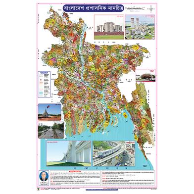
.svg)

