Summary:
Bangladesh (Administrative and Political Map)
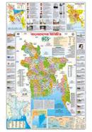
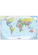
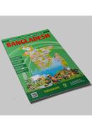
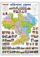
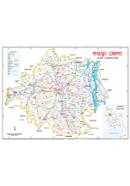
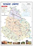
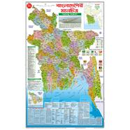
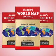
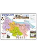
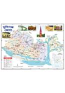
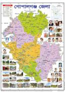
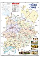
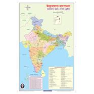
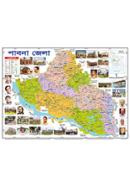
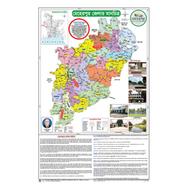
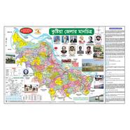
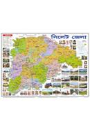
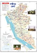
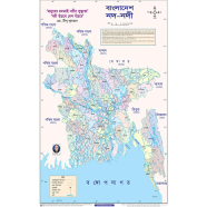
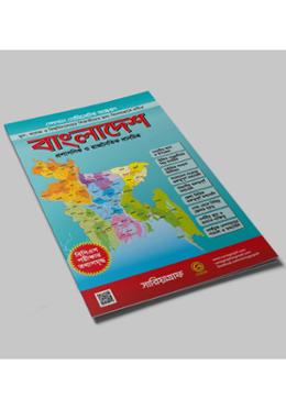
Sariyagraph Bangladesh Administrative and Political Map The Sariyagraph Bangladesh Administrative and Political Map gives a detailed look into the country's administrative and political divisions. It is 23x36 inches and is suitable for educational, professional, and personal use. It clearly and accurately lays out the country's boundaries, divisions, and other critical political areas. The map is in English for easy understanding by various individuals. It will be helpful for students learning about Bangladesh's geography, professionals who need accurate information on hand, and a fine addition to one's home or office decor.
Elaborate and Correct Mapping
The Sariyagraph Bangladesh Political Map 23x36 inch will be helpful and informative but is designed to be visually attractive. The map provides an amazingly detailed overview of Bangladesh's political geography. It includes all essential administrative boundaries and major cities. Large in size, it ensures every minute detail is clear and readable. The map's design provides a good understanding of the country's political setup. This will be a handy tool for teachers, researchers, and individuals with an interest in the geography of Bangladesh. The map's clear demarcation of administrative areas helps one grasp the political subdivisions quickly.
Available in Bangladesh and Online
You can buy the Bangladesh Administrative Map from any local shop in Bangladesh or look for it online. This map is also available on Rokomari, one of Bangladesh's most popular online shopping sites. If you prefer to shop online, you can purchase it and deliver it to your doorstep. Regarding the price, the quality-to-price ratio of the map in Bangladesh is quite competitive. It is available online for those who shop from the comfort of their home to make it easier to get a detailed map of Bangladesh.
Why Buy This Map
Buying the Sariyagraph Bangladesh Administrative and Political Map is to opt for clarity and precision in achieving knowledge about Bangladesh's geography. The 23x36-inch size is big enough to be displayed prominently in classrooms and offices. Such maps are essential, in terms of the detailed political and administrative information they portray, to those who would like to understand the divisions of a country in totality. Students, teachers, and those who love geography will use this kind of map a lot. Its availability online and in the local shops ensures that it is accessible to everyone.
![]()


 Hello, Sign in
 Cart
Cart 


.svg)

